

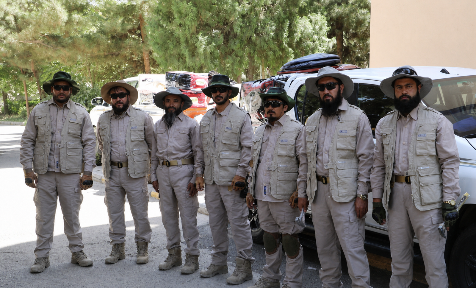
Afghanistan’s Ministry of Mines and Petroleum has announced the start of a geological surveying and mapping program as part of its annual plan for 1405.
According to the ministry, the program will conduct geological mapping at a scale of 1:100,000 with the aim of collecting detailed geological information and developing a comprehensive database of the country’s mineral resources.
Two professional teams are scheduled to be deployed to Afghanistan’s southern and western zones to carry out field surveys and gather geological data. The information collected will be used to improve understanding of mineral deposits and support the development of Afghanistan’s mining sector.
The Ministry of Mines and Petroleum said Afghanistan has been divided into seven geological zones under its broader mapping plan. Three of these zones are scheduled to be covered by the geological mapping program during the current year.
Geological surveys are considered an important step in identifying the location, type and potential quantity of mineral resources. Accurate geological data can also help authorities and investors assess mining opportunities and plan future exploration and extraction projects.
Afghanistan is believed to possess significant deposits of minerals and natural resources, including copper, iron, lithium and other valuable materials. However, limited geological data, infrastructure challenges and security concerns have historically complicated large-scale exploration and mining activities.
The new mapping initiative could provide updated information about Afghanistan’s mineral potential and contribute to the development of a more organized national mineral resources database.
The ministry has not yet provided details about the specific mineral deposits expected to be prioritized in the three zones covered by this year’s program.